Ontario Conservation Authorities Explained
Ontario's conservation authorities are one of the province's most important and least understood public institutions. There are 36 conservation authorities across Ontario, each organized around a watershed or group of watersheds. They regulate development near waterways and wetlands, manage flood risks, protect source water, and steward thousands of hectares of conservation land. If you own property in Ontario, especially near water, a conservation authority has almost certainly played a role in shaping what can and cannot happen on or near your land.
Despite their influence, many Ontario residents have never heard of their local conservation authority or are unclear about what these organizations do. This guide explains the basics: what conservation authorities are, how they work, and why they matter for the environmental health of your community.
Origins and Purpose
Conservation authorities were created in the aftermath of Hurricane Hazel, which struck southern Ontario in October 1954. The storm killed 81 people, destroyed hundreds of homes, and caused catastrophic flooding along rivers and streams. In the wake of the disaster, Ontario established the Conservation Authorities Act, creating a system of watershed-based agencies with a mandate to manage natural resources and protect people and property from natural hazards.
The watershed model was intentional. Water does not follow municipal boundaries. A development decision in one municipality can create flooding downstream in another. By organizing around watersheds, conservation authorities can manage water resources and flood risks across entire drainage basins, coordinating with all the municipalities within their jurisdiction.
Today, conservation authorities operate under a combination of the Conservation Authorities Act and the Planning Act. Their core mandate focuses on natural hazard management (flooding, erosion, and unstable slopes), but many authorities have expanded their activities to include water quality monitoring, source water protection, environmental education, trail management, and biodiversity conservation.
What Conservation Authorities Regulate
The regulatory function of conservation authorities is what most property owners encounter directly. Under Section 28 of the Conservation Authorities Act, a permit is required for development activities within regulated areas. These areas include floodplains, wetlands, shorelines, watercourses, and lands adjacent to these features. The specific boundaries are mapped and available from your local conservation authority.
Activities that typically require a conservation authority permit include constructing or expanding buildings, grading or filling land, altering a waterway, removing vegetation in regulated areas, and any work that might affect flooding or erosion patterns. The permit process involves submitting plans for review and demonstrating that the proposed work will not increase flood risk, cause erosion, or damage natural features.
This regulation can be frustrating for property owners who want to build, renovate, or modify their land. The review process takes time, may require engineering studies, and sometimes results in restrictions on what you can do. But the regulations exist for good reason. Development in floodplains puts people at risk. Fill and grading near waterways can redirect floodwaters onto neighbouring properties. Removal of wetlands reduces the landscape's natural ability to absorb and slow stormwater.
Understanding whether your property falls within a conservation authority's regulated area is an essential part of buying property in Ontario. This information is typically available through the authority's mapping tools or by contacting their office directly. Real estate listings do not always disclose conservation authority constraints, so doing your own research is prudent.
Flood Management
Flood management remains the central function of conservation authorities. They operate flood forecasting and warning systems, maintain dams and water control structures, map floodplains, and review development proposals to ensure that new buildings are not placed in flood-prone areas. During flood events, conservation authorities issue flood watches, warnings, and advisories that alert municipalities and residents to rising water levels.
Floodplain mapping determines where development is permitted and what conditions apply. Properties within the regulatory floodplain may face restrictions on new construction, requirements for flood-proofing measures, or outright prohibition of development. These restrictions protect both the property owner and downstream neighbours by preventing construction that would be vulnerable to flooding or that would worsen flooding elsewhere.
For homeowners concerned about basement flooding, conservation authority floodplain maps are a valuable resource. They show where overland flooding is most likely and can help you assess the long-term flood risk of a property. This information is particularly important for properties near rivers, streams, and low-lying areas that may not flood in a typical year but are vulnerable during major storms.
Source Water Protection
Following the Walkerton tragedy in 2000, when contaminated drinking water killed seven people and sickened thousands, Ontario established a comprehensive source water protection program. Conservation authorities were given a lead role in developing source protection plans for every municipal drinking water source in the province.
Source protection plans identify the areas that contribute water to municipal wells and surface water intakes, assess the threats to those water sources, and establish policies to manage those threats. If your property is within a source protection area, certain activities may be restricted or require risk management measures. For example, fuel storage, the application of certain chemicals, and some agricultural practices may be regulated more strictly in areas that contribute directly to drinking water sources.
This work connects directly to the safety of your drinking water. Source water protection is the first barrier in Ontario's multi-barrier approach to drinking water safety. By preventing contamination at the source, the burden on treatment systems is reduced and the overall reliability of the water supply is improved.
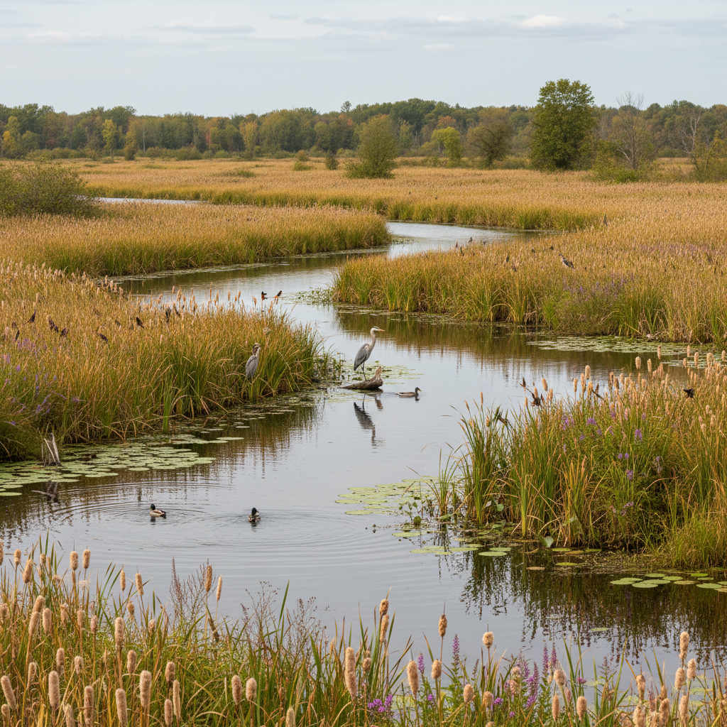
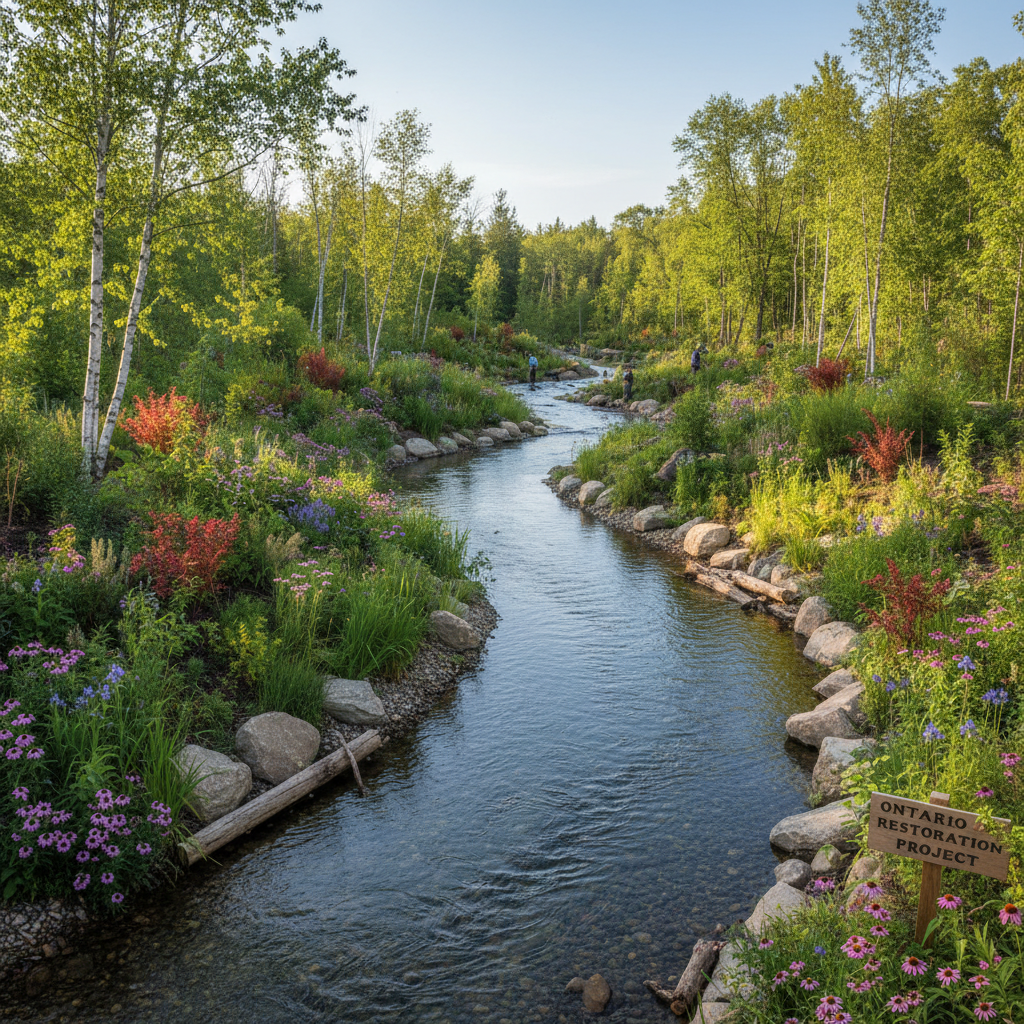
Conservation Lands and Trails
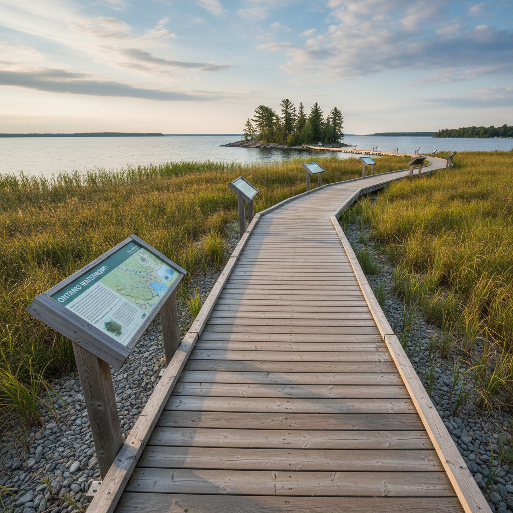
Many conservation authorities own and manage significant tracts of land. These conservation areas serve multiple purposes: flood storage, water quality protection, habitat preservation, and public recreation. Across Ontario, conservation authority properties include forests, wetlands, reservoirs, beaches, and trail systems that are open to the public, often for a modest day-use fee or annual pass.
For residents and families, conservation areas are a valuable recreational and health resource. Trails through conservation lands provide opportunities for walking, hiking, cycling, cross-country skiing, and nature observation. Many conservation areas offer educational programs, summer camps, and guided nature experiences. The connection between green space and family health makes these publicly accessible natural areas particularly important for community wellbeing.
Funding and Governance
Conservation authorities are funded through a combination of municipal levies, provincial grants, fees for services, and self-generated revenue from conservation areas and programs. The municipal levy, which is a charge to each municipality within the watershed based on its share of the watershed area and population, provides the base funding for most authorities.
Governance is through a board of directors composed of representatives appointed by the member municipalities. This means that your municipal council has a voice on the conservation authority board. If you have concerns about conservation authority policies or decisions, your municipal councillor is one avenue of input.
Provincial funding for conservation authorities has fluctuated over the years, and recent legislative changes have focused the authorities' mandatory role more narrowly on core natural hazard management and source water protection. Programs beyond these core functions, including many trail systems, environmental monitoring programs, and education initiatives, may depend on other funding sources and are not guaranteed.
Working With Your Conservation Authority
If you are planning a project that might fall within a conservation authority's regulated area, contact them early in the process. Pre-consultation can save time and money by identifying potential issues before you invest in detailed plans. Most conservation authorities have staff who can explain the permit requirements and help you understand what is and is not feasible on your property.
If you disagree with a conservation authority decision, there is an appeal process. The Ontario government's conservation authority page outlines the legislative framework and appeal provisions. Understanding the process and your rights within it is important, particularly for property owners who feel that regulatory decisions are unreasonable.
Conservation authorities are partners in community environmental health. They hold knowledge about local water systems, flood risks, and natural heritage that is difficult to find elsewhere. Their mapping, monitoring, and regulatory work contributes to the resilience of Ontario communities in ways that are often invisible until something goes wrong. For property owners, understanding your local conservation authority, knowing where regulated areas are, and engaging with their programs and planning processes, is a practical part of responsible property ownership and community participation in Ontario.
Whether you are buying property, planning a renovation, or simply trying to understand the landscape of environmental governance in your community, your local conservation authority is a resource worth knowing about. They sit at the intersection of flood safety, water quality, natural heritage protection, and community resilience, making them central to what makes an Ontario community healthy and sustainable.