Walkability Scores: What They Miss

If you have ever searched for a new home or neighbourhood, you have probably encountered Walk Score. The tool assigns a number between 0 and 100 based on the distance from a given address to nearby amenities like grocery stores, schools, parks, and restaurants. A higher score means more things are within walking distance. It is a useful starting point, but in Ontario's smaller communities, that single number can be deeply misleading.
Walk Score and similar tools rely primarily on proximity. They measure straight-line or road-network distance to points of interest. What they do not capture are the real-world conditions that determine whether a walk is safe, comfortable, and practical for everyday life. In a province where winter lasts five months and terrain varies from flat lakeshore towns to hilly Shield country, those conditions matter enormously.
The Proximity Problem
A neighbourhood might score well because a grocery store sits 600 metres away. But if those 600 metres involve crossing a four-lane provincial highway with no controlled intersection, most parents would never send their children on that walk. The score does not know about the highway. It does not know whether there is a sidewalk, a crosswalk, or a safe shoulder.
This matters especially in Ontario towns that grew up around highway corridors. Places like Arnprior, Gravenhurst, and Tillsonburg have commercial strips along busy roads that look walkable on a map but feel dangerous on foot. The algorithm sees a coffee shop 400 metres away. A pedestrian sees a truck route with no buffer.
Similarly, the tool cannot account for topography. A 500-metre walk that involves a steep hill is a very different experience from a flat stroll, particularly for seniors, families with strollers, and anyone with mobility challenges. Many Ontario towns, especially those in the Canadian Shield or along escarpment edges, have significant grade changes that make certain routes impractical even if they are technically short.

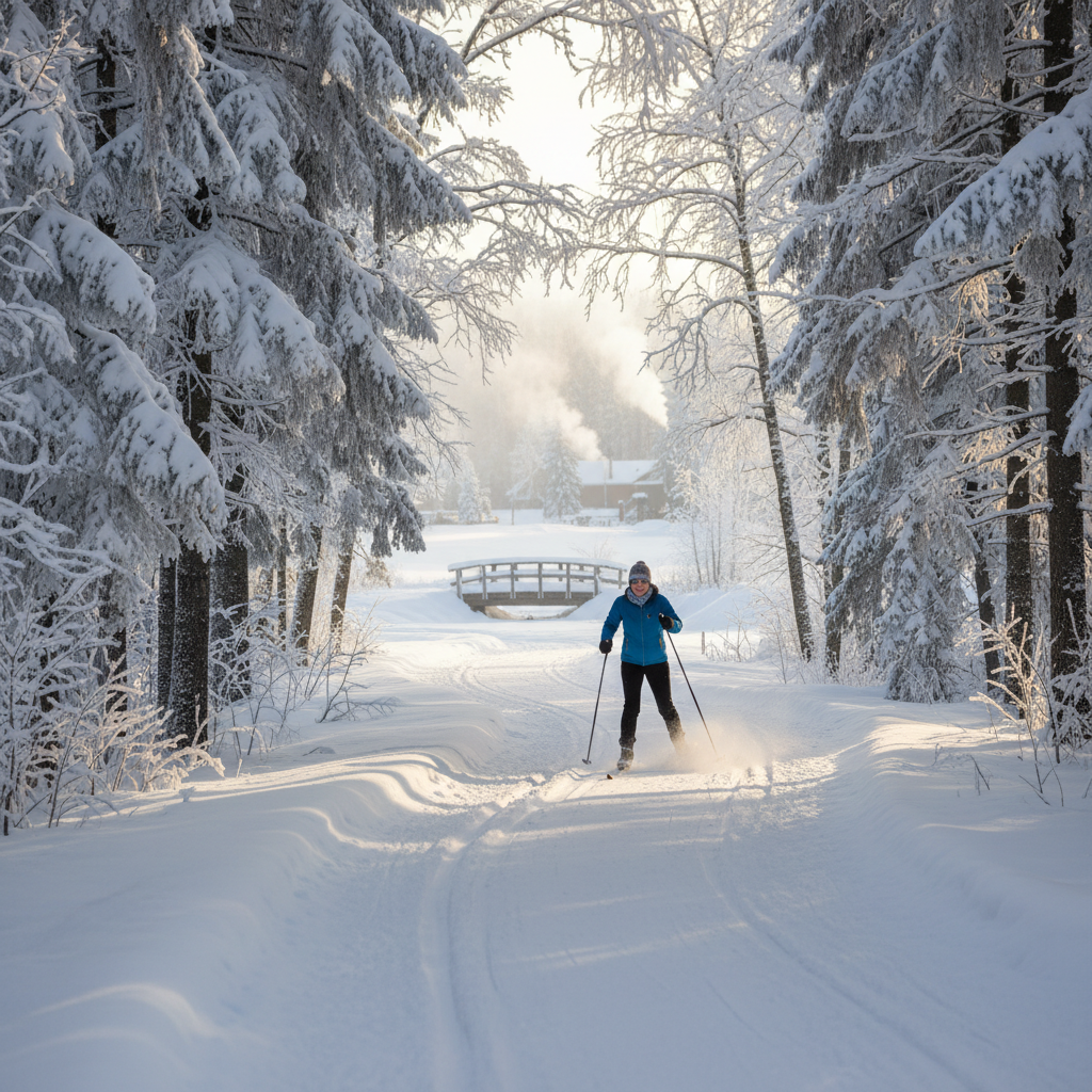
Seasonal Blindness
Perhaps the biggest gap in walkability scoring tools is their complete indifference to seasons. A route that scores perfectly in July may be impassable in January. Ontario's freeze-thaw cycles create ice hazards. Snow accumulation narrows or blocks sidewalks. And municipal snow-clearing priorities vary widely from town to town.
Some Ontario municipalities clear sidewalks within 24 hours of a snowfall. Others rely on property owners to shovel their own frontage, which creates a patchwork of cleared and uncleared sections. In towns without a formal sidewalk-clearing program, winter walkability drops to near zero for anyone who cannot navigate ice and snowbanks. Walk Score does not know any of this.
Lighting is another seasonal factor. In December, the sun sets before 5 p.m. in most of Ontario. If your walk to the grocery store happens after work, you are walking in the dark. Streets without adequate lighting, especially those without sidewalks, become uncomfortable and potentially hazardous. The scoring tool has no way to measure this.
Sidewalk Quality and Connectivity
Having a sidewalk is not the same as having a good sidewalk. Cracked, heaved, and root-damaged surfaces create trip hazards. Sidewalks that start and stop without warning force pedestrians onto the road. Many Ontario towns have older neighbourhoods where sidewalks exist on one side of the street but not the other, or where they simply end at the edge of a subdivision.
Connectivity matters too. A neighbourhood might have sidewalks on every street, but if those streets dead-end or loop without connecting to the commercial core, actual walking distances are much longer than they appear. Cul-de-sac-heavy developments built in the 1980s and 1990s are common across Ontario, and they consistently score better on proximity-based tools than they deserve.
Trail networks can offset some of these shortcomings. Towns like Collingwood, Carleton Place, and Cobourg have invested in multi-use paths that connect residential areas to downtown cores and waterfronts. These paths often provide more direct, more pleasant, and safer routes than the road network. But walkability tools rarely account for trails unless they are mapped as part of the pedestrian road network.
What the Numbers Cannot Tell You
Beyond the physical infrastructure, walkability has a social dimension that no algorithm captures. Do people actually walk in the neighbourhood? Are there other pedestrians on the street, or does the area feel deserted? Is there a culture of walking to the store, the school, or the library?
Traffic speed and volume are closely related. A street with a 40 km/h speed limit and steady traffic feels very different from one with the same speed limit but almost no cars. The presence of on-street parking, the width of the road, and whether drivers routinely exceed the posted limit all affect how safe a walk feels. These factors influence whether families choose to walk with their children or drive instead.
Shade is another overlooked factor. As shade, sidewalks, and quiet streets become recognized as health infrastructure, the presence of mature trees along walking routes has real value. A shadeless walk along a wide suburban road in July heat is an unpleasant experience. A tree-canopied route of the same distance can be genuinely enjoyable.
A Better Way to Evaluate Walkability
If you are considering a move to an Ontario community, use walkability scores as a rough filter, not a final answer. Then do your own ground-truthing. Visit the neighbourhood on foot. Walk to the places you would actually go: the grocery store, the school, the park, the pharmacy. Do it at different times of day. If possible, do it in winter.
Pay attention to the details the algorithm misses. Are there continuous sidewalks? Are intersections controlled? Is the route well lit? Do other people walk it? Is there shade in summer and shelter from wind in winter? How does traffic feel at rush hour?
Ask the municipality about their winter sidewalk maintenance policies. Find out whether the town has an active transportation plan. Check whether there are trail connections that do not show up on standard maps. Look at whether the community has invested in cycling infrastructure, which often correlates with pedestrian-friendly design.
Resources like the Walkable Streets initiative and municipal transportation master plans can provide context that a single number never will. The Ontario Active School Travel program also maps safe routes to schools, which can be a useful proxy for neighbourhood walkability.
Why This Matters for Health
Walkability is not just a convenience issue. Research consistently links walkable neighbourhoods to higher rates of physical activity, lower rates of obesity and cardiovascular disease, and better mental health outcomes. People who can walk to daily destinations are more likely to meet recommended activity levels without setting foot in a gym.
For families, walkability shapes children's independence. Kids in walkable neighbourhoods are more likely to walk to school, play outside, and develop spatial confidence. For seniors, it determines whether aging in place is realistic or whether driving becomes the only option for basic errands.
Communities that take walkability seriously, the ones investing in healthy streets and connected infrastructure, tend to be healthier across multiple measures. But you will not learn that from a number on a website. You will learn it by lacing up your shoes and walking the route yourself.
The best walkability score is the one you assign after spending a day on foot in the neighbourhood where you might live. No algorithm, however sophisticated, can replace that experience. Ontario's small towns have tremendous potential for walkable daily life, but only if you look past the score and pay attention to what is actually under your feet.